Blairgowrie and Rattray, often considered a single town, sit nestled in Perth and Kinross, Scotland, serving as a gateway to the scenic Perthshire Highlands. A map of Blairgowrie reveals a town shaped by its geography and history, characterized by the River Ericht which divides Blairgowrie from Rattray. Understanding the map is key to navigating and appreciating the unique character of this Scottish gem.
The River Ericht is a central feature. A prominent bridge connects Blairgowrie on the west bank with Rattray on the east. As you follow the river northwards on the map, you’ll notice how it winds through the landscape, eventually leading towards the hills. The river’s presence has historically been vital for industries like textiles and, more recently, salmon fishing, which still contributes to the local economy. The riverside paths offer excellent walking routes, easily identifiable on the map, providing a scenic way to explore the area.
The town center of Blairgowrie is concentrated around the Wellmeadow, a central public space frequently used for events and gatherings. Major roads radiate outwards from the Wellmeadow, including the A93, which connects Blairgowrie to Perth and Braemar, making it a vital transportation link. Mapping these road networks reveals the town’s accessibility and its role as a regional hub.
Residential areas spread outwards from the town center, reflecting Blairgowrie’s growth over the years. The map shows a mixture of housing styles, from older buildings in the historic core to more modern developments on the outskirts. Rattray, situated across the river, maintains its distinct character, with its own residential areas and local amenities. Examining the map highlights the subtle differences in layout and architecture between the two sections of the town.
Beyond the immediate town area, the map reveals the surrounding agricultural landscape. Blairgowrie is renowned for its soft fruit production, particularly raspberries. The map illustrates the patchwork of fields surrounding the town, hinting at the fertile land that supports this industry. Orchard areas and farm locations are often indicated, giving a visual representation of the region’s agricultural importance.
Further afield, the map reveals the proximity to the Perthshire Highlands. Kirkmichael and Spittal of Glenshee are easily accessible by road from Blairgowrie. This makes Blairgowrie a popular base for outdoor enthusiasts, offering opportunities for hiking, skiing, and exploring the rugged beauty of the Scottish mountains. The availability of trails and outdoor activities become evident when referencing a detailed map of the surrounding area.
In conclusion, a map of Blairgowrie, Scotland, is more than just a navigational tool. It’s a window into the town’s history, its relationship with the River Ericht, its surrounding agricultural landscape, and its access to the spectacular Perthshire Highlands. By studying the map, visitors and residents alike can gain a deeper appreciation for the unique character and location of this vibrant Scottish town.
 1280×1280 os map blairgowrie forest alyth landranger map ordnance survey shop from shop.ordnancesurvey.co.uk
 1800×1000 blairgowrie map from www.oldemaps.co.uk
 1000×593 discover blairgowrie rattray perthshire great base explore central scotland from www.discoverblairgowrie.co.uk
 404×593 blairgowrie rattray scotland edinburgh scottish from www.pinterest.at
 450×315 blairgowrie perthshire heathpark lodge area from www.heathparklodge.co.uk
 600×371 blairgowrie weather forecast from www.weather-forecast.com
 400×472 blairgowrie rattray blairgowrie rattray map from www.getthedata.com
 961×320 blairgowrie rattray perthandkinross files vector street map from www.gbmaps.com
 596×421 area code explore blairgowrie local exchanges geopunk from www.geopunk.co.uk
 491×800 map blairgowrie landranger series scottish mountain heritage collection from smhc.co.uk
 1280×1280 os map blairgowrie kirriemuir glamis explorer map ordnance survey shop from shop.ordnancesurvey.co.uk
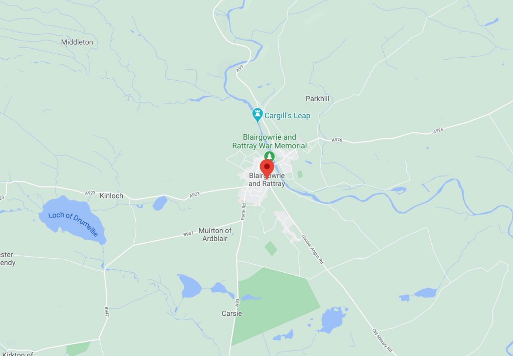 1024×710 blairgowriemap hamish hub from hamishhub.taysidemrt.org
 1200×1500 blairgowrie map print chelsea chelsea from chelseachelsea.com.au
 600×312 blairgowrie analysis diagrams behance from www.behance.net
 550×550 find routes blairgowrie house road from moovitapp.com
 740×523 blairgowrie holiday park caravan lodges perthshire from www.woodleisure.co.uk
 1402×991 blairgowrie holiday park map from mavink.com
 225×313 blairgowrie feature page undiscovered scotland from www.undiscoveredscotland.co.uk
 500×438 blairgowrie rattray wikipedia from en.wikipedia.org
 1300×850 town blairgowrie perthshire scotland uk stock photo alamy from www.alamy.com
 1049×700 blairgowrie visitor guide accommodation visitscotland from www.visitscotland.com
 1600×1157 city centre blairgowrie scotland editorial photo image destination town from www.dreamstime.com
 1024×683 blairgowrie complete guide blairgowrie from www.myvoyagescotland.com
 130×150 blairgowrie scotland perth kinross tourist information attractions uk travel guide from www.itraveluk.co.uk
 140×172 street map blairgowrie rattray perth kinross surrounding areas from www.scotland.maps2013.co.uk