Kislovodsk, a renowned spa city in Russia’s Stavropol Krai, boasts a detailed map reflecting its health resort status and unique geographical features. The city is nestled within a valley, and its map clearly illustrates this, with elevation changes playing a significant role in its layout. The map reveals a network of sanatoriums, parks, and mineral water springs, all interconnected by a well-maintained infrastructure.
Central to Kislovodsk’s map is the Kurortny Park (Resort Park), one of the largest urban parks in Europe. The map showcases its extensive trails, including the popular “Terrenkury” – specially designed walking routes with varying degrees of incline, tailored for therapeutic exercise. These routes, marked with different colors and distances on the map, are a key element of Kislovodsk’s health-focused identity. Points of interest within the park, such as the Mirror Stream, the Red Stones (Krasnye Kamni), and various pavilions offering mineral water, are prominently marked, aiding visitors in navigating this vast green space.
Beyond the Kurortny Park, the map of Kislovodsk reveals the city’s street grid, radiating outwards from the central park area. The main thoroughfare, Karl Marx Avenue, is easily identifiable, running through the heart of the city and connecting many of the major sanatoriums, hotels, and administrative buildings. Smaller streets branch off from this central artery, leading to residential areas and other points of interest.
The location of Kislovodsk’s various mineral water springs is another crucial feature highlighted on its map. These springs, each with its unique mineral composition and therapeutic properties, are the foundation of the city’s reputation as a health resort. The map indicates the location of the Narzan Gallery, where visitors can sample different types of Narzan mineral water, along with other spring locations throughout the city. Clear labeling distinguishes between the different types of water available at each location.
The map also displays the city’s transportation infrastructure, including bus routes, taxi stands, and the location of the railway station. This is particularly important for visitors arriving from other parts of Russia and seeking to explore the city and its surrounding areas. The proximity to nearby cities like Pyatigorsk and Essentuki, also known for their mineral springs, is often indicated, allowing visitors to plan day trips and explore the broader Caucasian Mineral Waters region.
Finally, the modern map of Kislovodsk often incorporates tourist information centers, pharmacies, hospitals, and cultural institutions, providing a comprehensive overview of the city’s services and amenities. Digital versions may also include real-time traffic information and GPS navigation, further enhancing the visitor experience. Overall, the map of Kislovodsk is more than just a navigational tool; it’s a guide to the city’s health-promoting environment and a testament to its long-standing tradition as a leading spa destination.
 850×1100 information from site2010.sai.msu.ru
  1024×1442 map kislovodsk from maps.newsruss.ru
  620×477 map kislovodsk buy vintage map replica poster print picture from www.discusmedia.com
  1280×1280 kislovodsk russia vector map classic colors hebstreits sketches from www.pinterest.co.uk
  500×319 map kislovodsk illiustrirovannye karty karta kartografiia from www.pinterest.co.uk
  880×561 putevoditel po kislovodsku dostoprimecatelnosti from vizit-nvk.ru
  390×280 kislovodsk national park images stock vectors shutterstock from www.shutterstock.com
 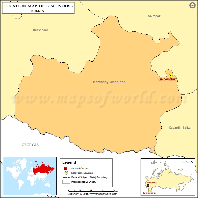 800×800 kislovodsk location kislovodsk russia map from www.mapsofworld.com
  396×396 master kislovodsk from cr.middlebury.edu
  600×371 kislovodsk weather forecast from www.weather-forecast.com
  1962×1497 kislovodsk plan from scalar.fas.harvard.edu
  600×371 kislovodsk location guide from www.weather-forecast.com
  350×200 time kislovodsk current local time dst summerwinter time conversion from 24timezones.com
  500×500 map kislovodsk details karta from www.pinterest.com
  1140×554 vintage pyatigorsk kislovodsk map etsy from www.etsy.com
  1069×741 bdownload topographic map area nalchik kislovodsk nartkala nartkala russia from longitudepr.com
  850×603 topographical map kislovodsk basin distribution scientific diagram from www.researchgate.net
  1000×1000 kislovodsk russia bright toned vector map hebstreits sketches map vector map quality from www.pinterest.com
  600×450 aerial kislovodsk royalty licensable stock illustrations drawings shutterstock from www.shutterstock.com
  374×206 kislovodsk wikipedia den frie encyklopaedi from da.wikipedia.org
  485×410 kislovodsk fortress video popular tourist places satellite map kislovodsk stavropolskiy from tours-tv.com
  736×668 kislovodsk stavropol krai russia high resolution vector map hebstreits map vector color from www.pinterest.ca
  1280×1280 kislovodsk russia vector map water focus hebstreits sketches map vector map from www.pinterest.com
  1440×1440 vector map kislovodsk russia hebstreits from hebstreits.com
  421×280 bright vector map kislovodsk russia fine stock vector royalty shutterstock from www.shutterstock.com
  1000×750 vector road map city kislovodsk russian federation black roads white from stock.adobe.com
  850×599 kislovodsk basin region ofstudy showing location soil scientific diagram from www.researchgate.net
  500×275 kislovodsk wikipedia from en.wikipedia.org
  105×88 kislovodsk wikipedie from cs.wikipedia.org