Kronshtadt Map: A Historical and Strategic Outline
The map of Kronshtadt reveals more than just streets and buildings; it’s a testament to centuries of Russian naval power, strategic defense, and turbulent history. Located on Kotlin Island in the Gulf of Finland, Kronshtadt served as the primary naval base protecting Saint Petersburg, the former capital. The island’s layout, dictated by both geography and military necessity, showcases its evolution from a simple fortress to a fortified city.
Central to any map of Kronshtadt is the system of forts that encircle the island. Constructed over several centuries, these forts – named after saints and historical figures – represent a layered defense, each positioned to provide overlapping fields of fire. Notable examples include Fort Konstantin, Fort Petr Perviy (Peter the First), and Fort Alexander I (“Plague Fort”). Their arrangement on the map illustrates the meticulous planning that went into securing access to Saint Petersburg. These forts, initially constructed from earth and wood, were later reinforced with concrete and steel, adapting to advancements in naval artillery. Examining their placement underscores the strategic chokepoints in the surrounding waterways.
Within the city itself, the map highlights key landmarks. The Naval Cathedral of Saint Nicholas, with its imposing presence, dominates the skyline and served as a focal point for naval personnel and religious life. Its location on the map signifies its importance as a spiritual center for the Russian Baltic Fleet. The Petrovsky Dock, an early example of dry dock technology, is another significant point of interest. Its presence on the map underlines Kronshtadt’s role as a major shipbuilding and repair center. The network of canals and basins, visible on historical maps, further emphasizes the island’s function as a naval hub, facilitating the movement of vessels and supplies.
The map also reveals the residential areas that supported the naval base. Barracks, officer housing, and administrative buildings are clustered near the harbor, reflecting the close relationship between the military and civilian populations. Later maps show the development of factories and workshops, illustrating the industrialization of Kronshtadt in the late 19th and early 20th centuries.
Studying the various iterations of Kronshtadt’s map – from early hand-drawn charts to modern satellite imagery – reveals the ongoing evolution of the island. The map serves as a crucial historical document, charting the shifting geopolitical landscape of the Baltic Sea region and Kronshtadt’s enduring role as a guardian of Russia’s northern approaches. Even today, the forts and structures depicted on the map stand as silent witnesses to Kronshtadt’s pivotal role in Russian history and naval strategy.
 1000×1026 plan kronstadt fortress southern part northern fortress from www.nortfort.ru
  1200×630 map kronshtadt from kronshtadt.net
  600×371 guia urbano de kronshtadt from es.weather-forecast.com
  1300×1216 kronstadt map res stock photography images alamy from www.alamy.com
  1200×845 tardieu plan de kronstadt russia kronstadt kotlin island saint petersburg from www.vintage-maps.com
 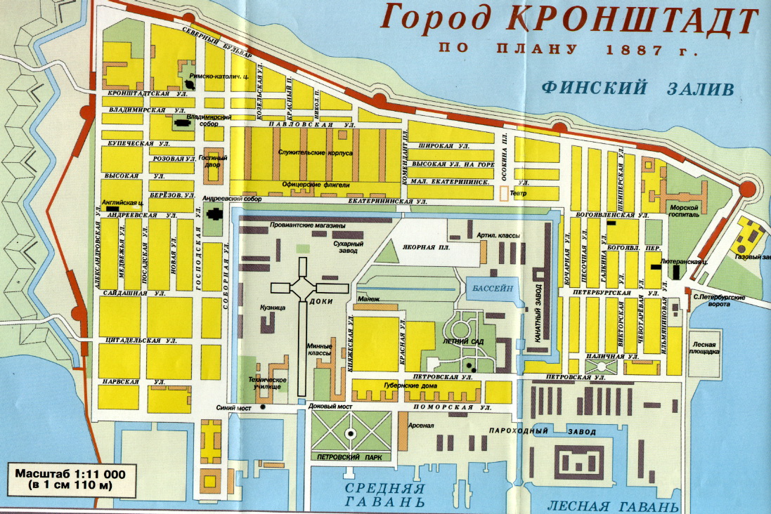 1097×732 karty kronstadta from kotlin.ru
  1024×766 map kronstadt histoire des soviets pub litho russian school century from www.bridgemanimages.com
  620×291 map brasov kronstadt sinaia vicinities kronstadt buy vintage map from www.discusmedia.com
  1000×915 kronstadt plan goroda severnye kreposti from www.nortfort.ru
  1920×1357 booklet map kronstadt city behance from www.behance.net
  1600×1157 portsmouth hampshire uk kronshtadt russia shown road map geography map from www.dreamstime.com
  600×371 kronshtadt weather forecast from www.weather-forecast.com
  1023×774 image map petrograd kronstadt russia litho french school century from www.bridgemanimages.com
  750×502 contentdm from vmi.contentdm.oclc.org
  464×400 brasov kronstadt city map sinaia city map waldin avenza maps from store.avenza.com
  1300×947 harta res stock photography images alamy from www.alamy.com
  669×504 kronstadt uprising lynne thorndycraft libcomorg from libcom.org
  445×333 kronstadt northern fortress from www.nortfort.ru
  1078×1390 cronstadt kronstadt kotlin island peterhof st petersburg sidney hall map stock photo alamy from www.alamy.com
  1300×939 map st petersburg res stock photography images alamy from www.alamy.com
  1024×598 namespacekronstadt opstand anarchismenl from anarchisme.nl
  1024×750 commune kronstadt sargonikum deviantart from www.deviantart.com
  1187×1600 st petersburg environs kronstadt peterhof russia baedeker map from www.antiquemapsandprints.com
 .jpeg/300px-Map_of_St._Petersburg_(Einseitige_Farbkarte).jpeg) 300×198 kronstadt rebellion connexipedia article from www.connexions.org
300×198 kronstadt rebellion connexipedia article from www.connexions.org  320×255 map kronstadt republic ralternatehistory from www.reddit.com
  1436×910 map library from wwitoday.com
  1586×1070 kronstadt revolutionsaret from revolutionen1917.wordpress.com
  1600×1287 map kronstadt saint petersburg russia stock illustration illustration creative capital from www.dreamstime.com
  440×423 kronstadt wikipedia from en.wikipedia.org
  1749×1232 kronstadt from en-academic.com
  480×240 history kronshtadt kronshtadt from kronshtadt.net